Map of the Gibb River Road
Find below a map of the Gibb River Road.
For more comprehensive information, please see our dedicated Gibb River Road page.
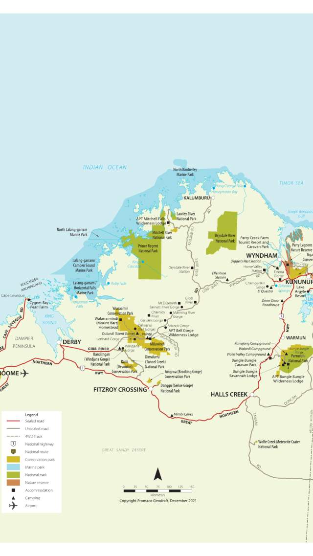
Key Distances and driving times - Gibb River Road
|
Leg |
Distance & approximate driving time |
|
Derby - Gibb River Road turnoff |
6km/5mins |
|
Gibb River Road turnoff – Windjana Gorge & Tunnel Creek turnoff |
118km/1hr 30mins |
|
Windjana Gorge & Tunnel Creek turnoff - Mt Hart Station turnoff |
65km/1hr |
|
Mt Hart Station turnoff - Mt Hart Station |
50km/ 1hr 30mins |
|
Mt Hart Station turnoff - Bell Gorge turnoff |
30km/40mins |
|
Bell Gorge turnoff - Silent Grove Campground |
29km/40mins |
|
Bell Gorge turnoff - Imitjii / Bell Gorge Wilderness Lodge |
8km/15mins |
|
Imitjii / Bell Gorge Wilderness Lodge - Galvans Gorge |
65km/1hr 10mins |
|
Galvans Gorge - Mt Barnett Roadhouse (Manning Gorge) |
14km/25mins |
|
Imitjii / Bell Gorge Wilderness Lodge - Mornington Wilderness Camp turnoff |
26km/40mins |
|
Mornington Wilderness Camp turnoff - Mornington Wilderness Camp |
88km/2hrs |
|
Mt Barnett Roadhouse (Manning Gorge) - Mt Elizabeth Station/Walcott Inlet turnoff |
36km/50mins |
|
Mt Elizabeth Station/Walcott Inlet turnoff - Mt Elizabeth Station |
30kms/45mins |
|
Mt Elizabeth Station/Walcott Inlet turnoff - Gibb River/Kalumburu Roads junction |
71km/1hr 40mins |
|
Gibb River/Kalumburu Roads junction - Ellenbrae Station |
64km/1hr 15mins |
|
Ellenbrae Station - Cockburn Range Lookout |
100km/1hr 15mins |
|
Cockburn Range Lookout - Home Valley Station |
13km/20mins |
|
Home Valley Station - Pentecost Crossing |
9km/15mins |
|
Pentecost Crossing – El Questro Station turnoff |
24km/40mins |
|
El Questro Station turnoff - El Questro Station |
16km/25mins |
|
El Questro Station - Emma Gorge Resort turnoff |
28km/40mins |
|
El Questro Station turnoff – Emma Gorge Resort |
10km/10mins |
|
Emma Gorge Resort - Great Northern Highway/Gibb River Rd turnoff |
23km/30mins |
|
The Great Northern Highway/GRR turnoff - Kununurra |
51km/1hr |
|
The Great Northern Highway/GRR turnoff - Wyndham |
49km/1hr |
|
Wyndham - Diggers Rest Station |
46km/1hr 10mins |
|
Wyndham - Kununurra |
106km/1hr 10mins |
Where to stay on the Gibb River Road
There's a surprising range of accommodation for travellers along the Gibb River Road, from campsites to station stays and glamping.
Munurru (King Edward River) Campground
The first campground visitors come across when they approach Mitchell Falls. It makes a…
APT Mitchell Falls Wilderness Lodge
The Mitchell Falls Wilderness Lodge is a stunning example of APT’s 'touch of luxury in the…
Silent Grove Campground
The campground at Silent Grove is a great base from which to explore Bell Gorge, including its…
El Questro - The Station
El Questro sprawls over 700,000 acres and is one of the world's most unique holiday…
El Questro - Emma Gorge Resort
El Questro Emma Gorge is a hidden treasure at the base of the fiery red cliffs of the Cockburn…
Ellenbrae Station Pty Ltd
Come and join us for scones on the lawns at our Kimberley homestead! For overnight visitors we…
El Questro - The Homestead
The luxurious El Questro Homestead sits in an exclusive oasis in Western Australia's rugged…
Mount Hart Wilderness Lodge
Nestled in a hidden oasis along the famous Gibb River Road, Mount Hart Wilderness Lodge is a…
Mt Elizabeth Station Stay
Mt Elizabeth Station is about as close to the heart of the Kimberley region in Western…
Explore the Gorges
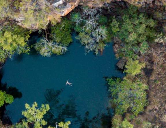
The river gorges, cascading waterfalls and freshwater swimming holes along the Gibb are some of natures best, and a welcome reward after walking the bush tracks to get to them.
While walking the trails and exploring the waterfalls, keep an eye out for Aboriginal rock art sites under ledges and overhangs. These are important cultural sites, so please do not touch or disturb them.
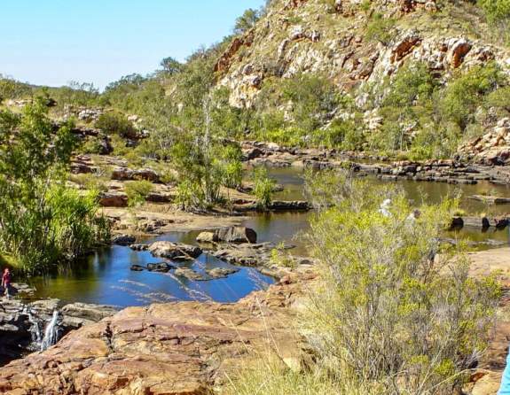
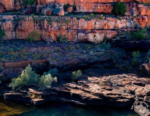
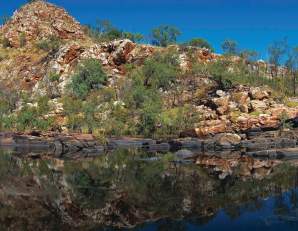
Sun-bleached rocks wind through a bush landscape which leads you to the first water filled pool. The backdrop of an amber hued hill reveals a dreamy, reflective…
Adcock Gorge is a picturesque gorge and swimming spot on Mt House station, approximately 5 kilometres off the Gibb River Road. The driving track is 4WD only.
Galvan’s Gorge is the most accessible gorge along the Gibb, located just 1 kilometre off the road. This is a popular and pretty swimming spot, with a small…
Located on Manning Creek in the grounds of the 283,280ha Mt Barnett Station, water remains at the base of the waterfalls and in several pools along the creek year…
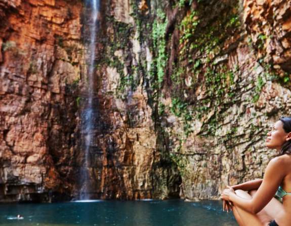
The serene surroundings of Emma Gorge waterfall make it a tranquil and relaxing place to swim. An approximate one-hour picturesque walk over rocky terrain rewards…
Tours that take you along the Gibb
Head off the beaten track with an experienced guide and like-minded fellow travellers, join a micro-group (6 travellers or fewer) or to take a private charter/tour.
Gibb River Road tours allow for a choice of accommodation, from fully accommodated, to participatory camping tours, where you pitch in to set up camp and prepare the evening meal, tours offering permanent campsites for some or all of your overnight stays, or tours allowing you to choose to upgrade your accommodation along the way.
The classic Kimberley 4WD itineraries can vary from 10 to 15 days, travelling through the Gibb River Road and onwards to take in all of the region's major attractions, such as the Purnululu National Park (the Bungles), and on some longer itineraries, the Punamii-Unpuu (Mitchell Falls).
WA NT TOURS
The West Coast is our home! WA NT TOURS are the specialists for guided small group tours…
APT Kimberley Wilderness Adventures
Explore the Kimberley with the experts, with over 45 years experience and every detail taken…
Kimberley Outback Tours
Kimberley Outback Tours operate multi-day tours throughout Western Australia and the Northern…
InStyle Adventures
Luxury Small Group & Private 4WD Tours InStyle Adventures is a family owned boutique tour…
On the Verandah
Join an On The Verandah Kimberley workshop and experience life on a remote cattle…
Kimberley Spirit Tours
Explore Western Australia’s spectacular Kimberley region with Kimberley Spirit tours. Discover…
Venture North Safaris
Venture North is a multi-award winning, family owned company specialising in micro-group…
El Questro Tours & Activities
Spend some time exploring the magical landscapes of El Questro - join a guided walking, 4WD or…
Inspiration Outdoors
At Inspiration Outdoors we are all about adventure during the day and comfort at night…
Adventure Wild Kimberley Tours
Adventure Wild Kimberley Tours provide quality, all-inclusive safaris of the spectacular…
Kimberley Dreaming
Kimberley Dreaming is a small, independent and local tour business, located in Kununurra in…
Kimberley Safari Tours
Put on your hiking shoes, have your swimming gear handy and get ready for breathtaking…
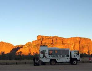
Kimberley Wild Expeditions
Kimberley Wild Expeditions offer the best value tours in Western Australia. Family-owned and…
National Parks along the Gibb
Many of the North West’s incredible natural attractions are located in the spectacular surroundings of our National Parks, including the ancient gorges and waterways of Karijini, the imposing striped domes of the Bungles and the incredible three-tiered Mitchell Falls. These…
Wunaamin Miliwundi Ranges Conservation Park
Situated on the south-western edge of the Kimberley Plateau along the Gibb River Road, explore…
Dimalurru (Tunnel Creek) National Park
Dimalurru (Tunnel Creek) National Park is Western Australia's oldest cave system. Part of the…
Mitchell Falls & the Mitchell River National Park
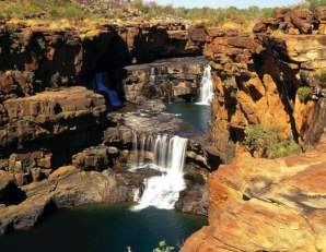
The four-tiered Mitchell Falls is an iconic Kimberley attraction, and one of the most…
Bandilngan (Windjana Gorge) National Park
Bandilngan (Windjana Gorge) National Park is part of a 375 million-year-old Devonian reef…


