Mount Bruce
Off Karijini Dr, Karijini National Park, 6751
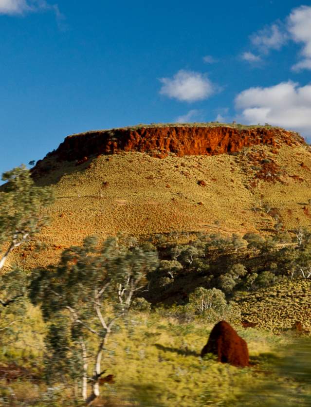
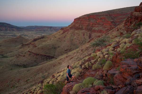
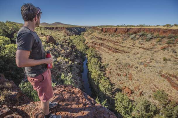
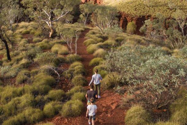
Mt Bruce, or Punurrunha, is Western Australia’s second highest mountain, boasting one of the country’s most scenic walks. The mountain features three distinct walks, each providing different levels of challenge and spectacular views over the surrounding ranges and the nearby Marandoo mine.
Walking Trails
Mandaroo View
Class 2
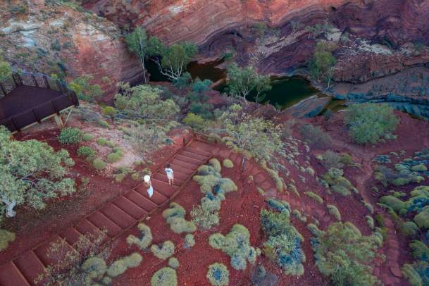
From the Mt Bruce carpark, this short and easy 500m return walk leads to a lookout over the Mandaroo mine. Ideal for visitors seeking a quick stop.
Honey Hakea Trail
Class 3
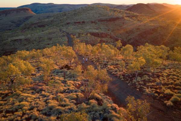
Continuing from Mandaroo View, the Honey Hakea trail extends for another 1.8 kilometres to a vantage point with views over the mountain ranges and towards the Marandoo mine. This part of the trail is relatively easy, with a small amount of scrambling along a short section of boulders along the way. This is a 4.6 kilometre round trip from the Mt Bruce car park.
Mt Bruce Summit Trail
Class 5
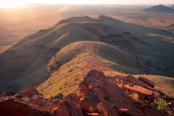
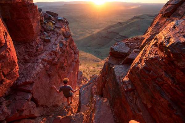
For experienced walkers, the summit trail continues for a further 2.2 kilometres from the Honey Hakea trail. This challenging walk offers the reward of spectacular views across the Hamersley Ranges but walkers will need to tackle a steep ascent and some scrambling and climbing. This trail is a 9 kilometre round trip from the car park. Allow at least 3-4 hours.
Visitor Information
- Access & Parking: The access road to Mt Bruce is a 3km unsealed road, with a turnoff from Karijini Drive close to the Banjima Drive West entry station. An information bay and toilet is also located at the Mt Bruce carpark.
- Safety Tips: Trails involve scrambling and climbing—ensure you wear sturdy hiking shoes, bring plenty of water, and allow sufficient time to complete your chosen walk.
Discover more of Karijini
Discover more of Karijini's gorges and attractions at the links below, or head back to our Karijini National Park page for more information including blogs, and a 4 day suggested itinerary.
Karijini Flora And Fauna
Karijini National Park encompasses an area of immense biological diversity, including vegetation…
Karijini Geology And Social History
The deep gorges and high peaks of Karijini national park are truly an ancient landscape. The Park…
Kalamina Gorge
Located part-way between the Weano Gorge and the Karijini Visitor Centre, Kalamina Gorge is the…
Knox Gorge And Lookout
The Knox Lookout has spectacular views across Knox Gorge towards its intersection with Wittenoom…
Hamersley Gorge
Located in the north west corner of Karijini National Park, Hamersley Gorge is the most remote of…
Joffre Falls Gorge And Lookout
Joffre Gorge is a stunning natural amphitheatre with a spectacular curved seasonal waterfall. Views…
Weano Gorge
A short walk into Weano Gorge brings you to Handrail Pool, which is great for swimming and provides…
Hancock Gorge And Kermits Pool
Hancock Gorge is simply stunning, but best experienced with a Karijini tour guide. After climbing…
Dales Gorge
At Dales Gorge you can experience three major highlights of Karijini National Park and…
Walking Trail Safety
Trails in Karijini National Park are graded to the Australia Walking Track Grading System. Walk…
Karijini National Park Map
Discover the highlights of Karijini with this interactive map, including day-use areas, gorges, pools, and lookouts. Click on the pins to see more information about each location and plan your visit with ease. Another great resource is the Visitor Guide from Visit Ashburton, which you can download, or pick up from the Onslow or Tom Price Visitor Centre.


